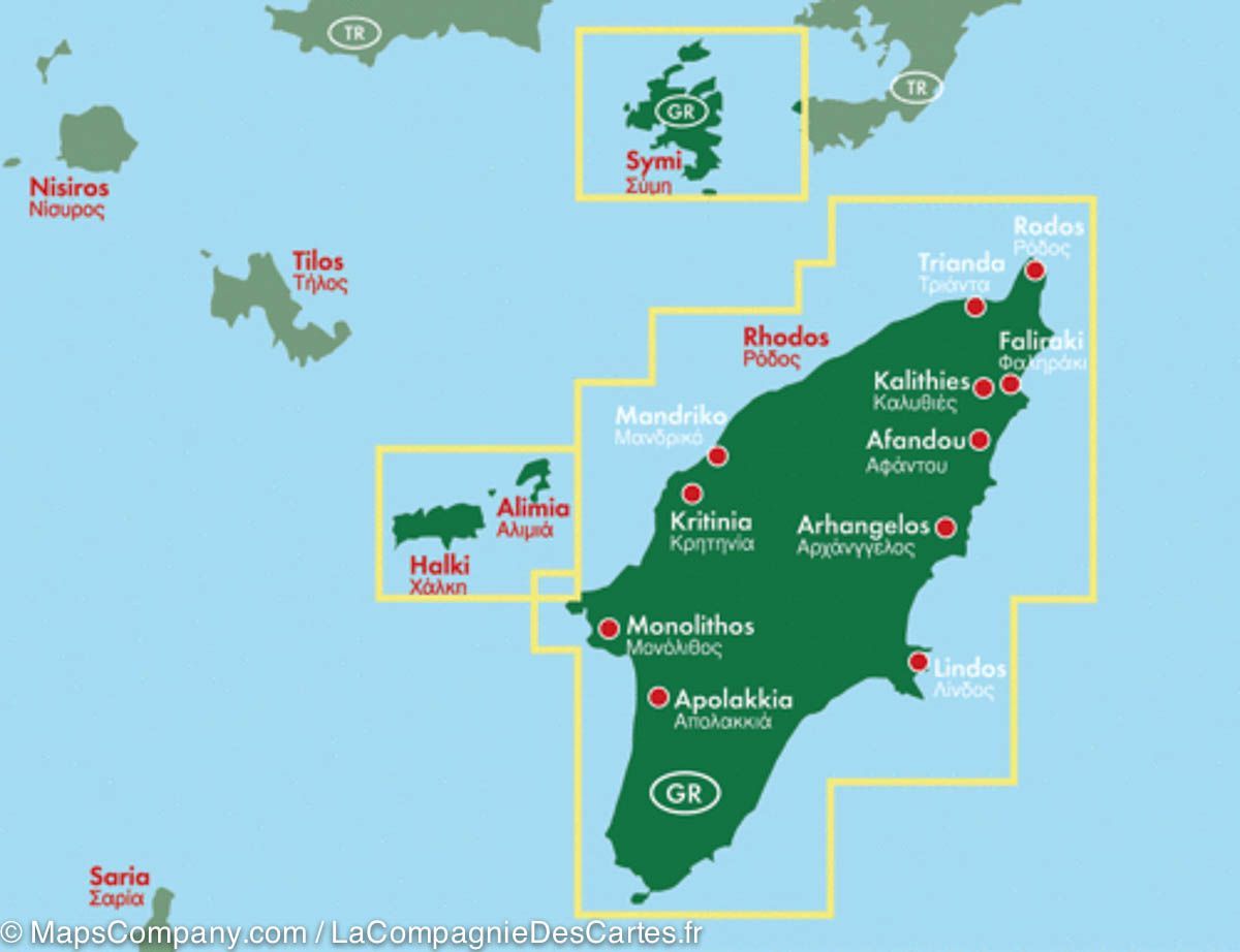
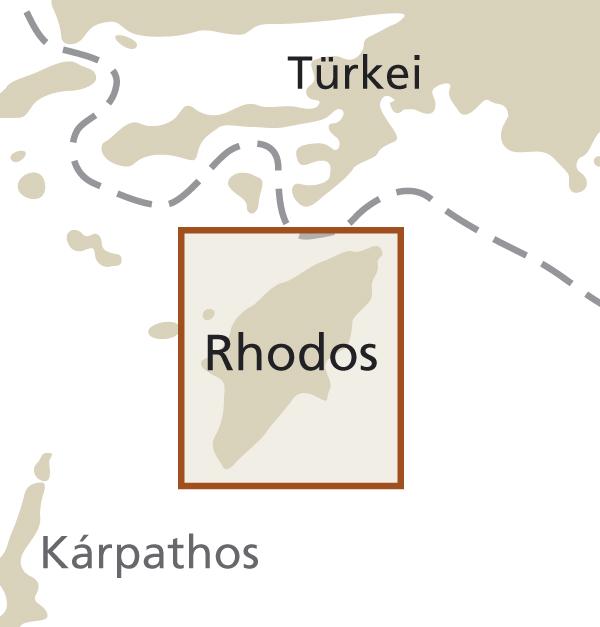
Detailed map - Island of Rhodes (Greece) | Freytag & Berndt

Price
Regular price 9900 kr
Regular price Sale price 9900 kr
/
  • Shipping within 24 working hours from our warehouse in France
  • Delivery costs calculated instantly in the basket
  • Free returns (*)
  • Real-time inventory
  • In stock, ready to ship
  • Backordered, shipping soon
Tax included.

Related geographic locations and collections:

Dodecanese, Greece, Greek Islands, Rhodes

Often purchased together:

Detailed map of Rhodes Island (Greece) published by freytag & amp Berndt. Scale 1: 50 000. This map includes Symi and Halki with alimia in insert.

Enhancement of points of interest (sites to see, beaches, campsites ...). Cities index.

Level curves and mapping of the relief. The distances are indicated on the map. Index of cities included.

Special excursion destinations on the island are recommended and briefly described in the attached multilingual leisure guide. (Languages: Greek, German, English, French, Italian, Spanish, Dutch, Czech, Slovak, Hungarian).

Multilingual legend (French, English, German, Italian, Spanish ...).


ISBN/EAN : 9783707910582
Publication date: 2018
Scale: 1/50,000 (1cm=500m)
Folded dimensions: 26x13cm
Unfolded dimensions: 96 x 136cm
Language(s): multilingual including French
Weight: 190 g