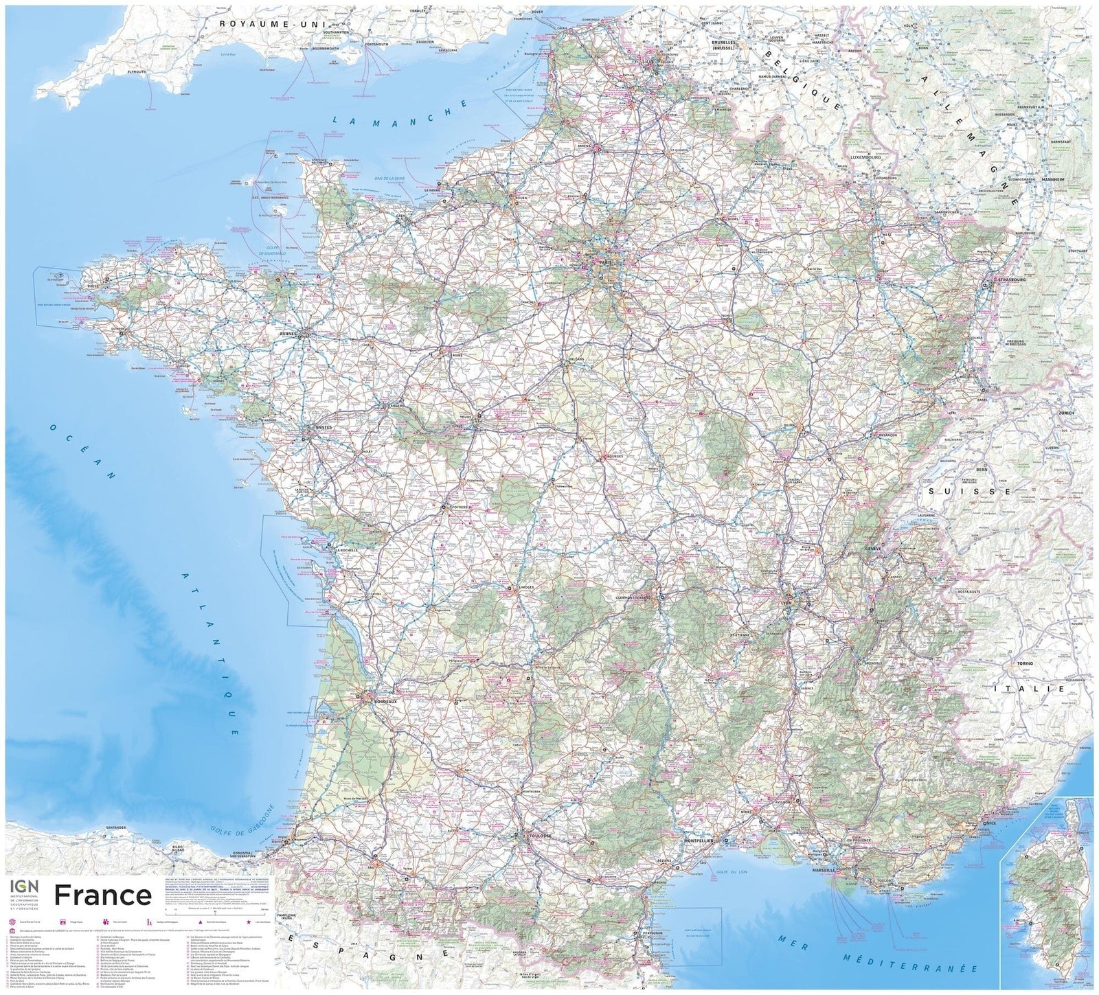
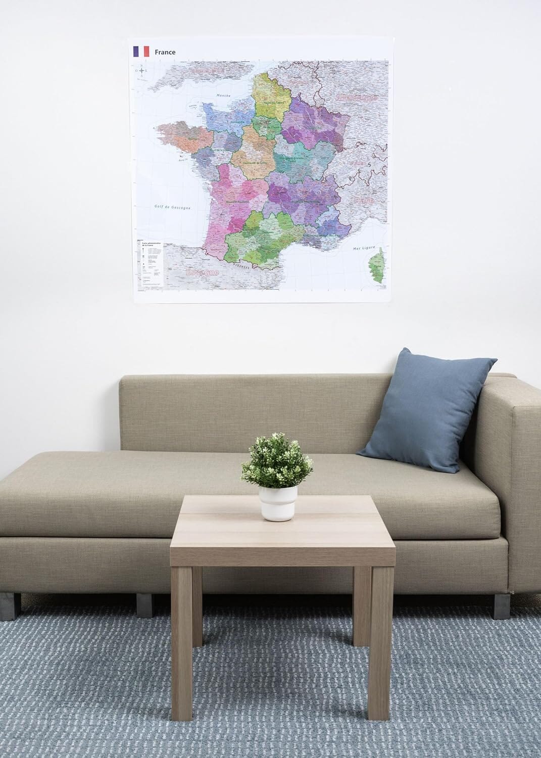
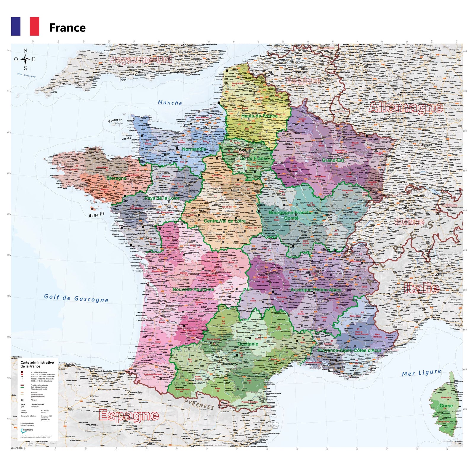
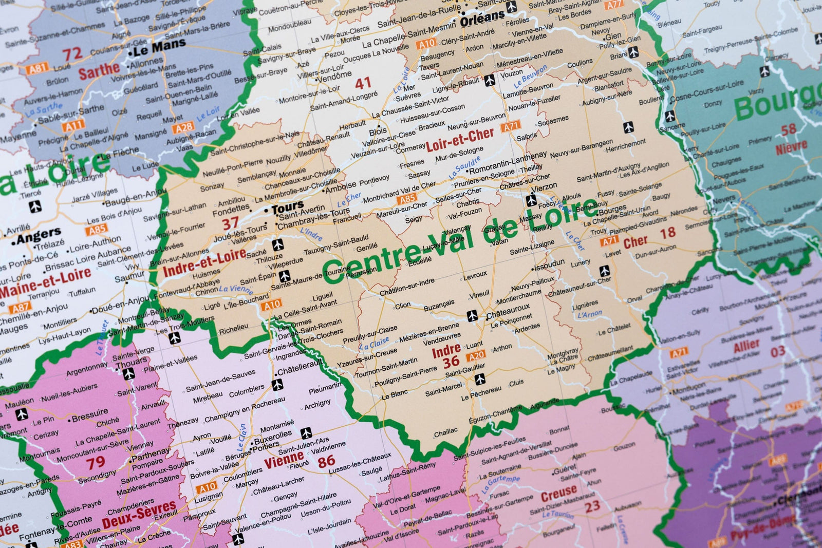
Wall map – France road map, Northeast Quarter (100 x 100 cm) | Blay Foldex
Regular price
68200 kr
Regular price
Sale price
68200 kr
Save -682 kr
/
- Produit imprimé à la demande - Expédition en France seulement (à partir du 25 août)
- Frais de livraison calculés instantanément dans le panier
Related geographic locations and collections: Blay-Foldex Wall Maps of France – To Decorate, Explore and Understand, Blay-Foldex – Foldable City Maps and Wall Maps, France Wall Maps, Wall Maps