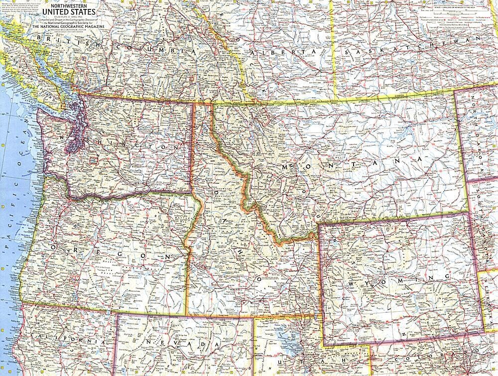
Carte du nord-ouest des États-Unis de 1960 carte murale roulée (en tube) National Geographic Historic POD Default Title

1960 Map of the Northwest United States

Price
Regular price 229,00 kr
Regular price Sale price 229,00 kr
Save -229 kr
/
  • Shipping within 48 business hours from our warehouse in the USA. For this product, customs fees may be requested by the carrier upon delivery.
  • Delivery costs calculated instantly in the basket
  • Free returns (*)
  • Real-time inventory
  • In stock, ready to ship
  • Backordered, shipping soon
Tax included.

Often purchased together:

This map of the northwestern United States shows Washington, Oregon, Idaho, Montana, and Wyoming. The intercontinental ballistic missile bases make it clear that this map was printed during a particularly tense period of the Cold War. Published in April 1960, it is one of a series of six cross-sectional maps of the United States published between 1958 and 1961.


ISBN/EAN : 2321209M
Publication date: 1960
Unfolded dimensions: 25in / 18.75in
Language(s): English
Weight: 200 g

Customer Reviews

Be the first to write a review
0%
(0)
0%
(0)
0%
(0)
0%
(0)
0%
(0)