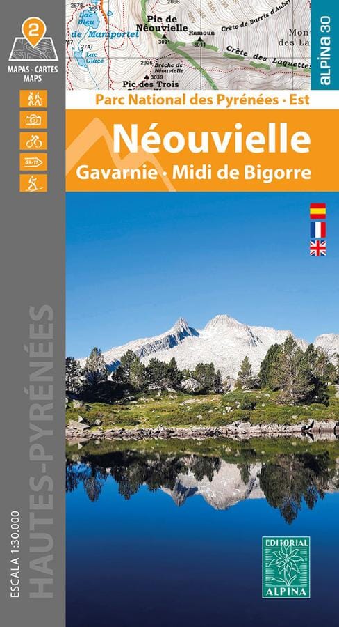
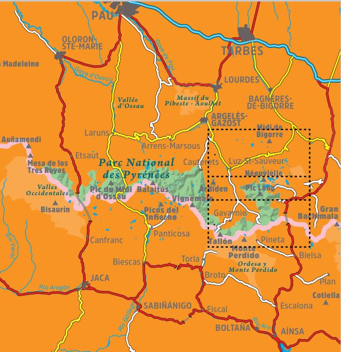
The Pyrenees National Park extends over one hundred kilometers, across six valleys, two departments (Pyrénées-Atlantiques and Hautes-Pyrénées) and two regions (Nouvelle Aquitaine and Occitanie), along the border with Spain. These two maps cover the eastern sector of the park, with the Néouvielle National Nature Reserve, the cirques of Gavarnie, Estaubé, Troumouse and Barroude, as well as the Pic du Midi de Bigorre, outside the protected area.
Area covered: Pyrenees National Park. Hautes-Pyrénées. Néouvielle, Gavarnie and Midi de Bigorre sector.
Characteristics of the maps: 2 topographical maps 1:30,000 with information of interest for hikers: refuges, marked trails (GR, PR, local trails), trails at the summits, access to the starting point of the hikes, etc.
The foldable flap includes:
• 20 Hikes
• Geographic information
• Unmissable sites