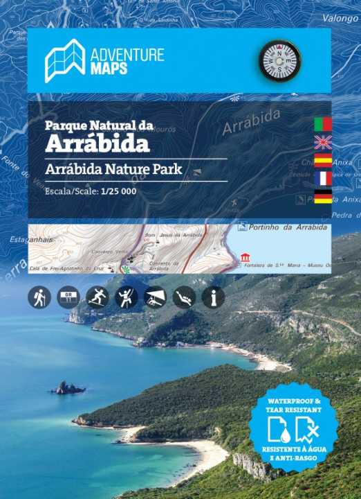
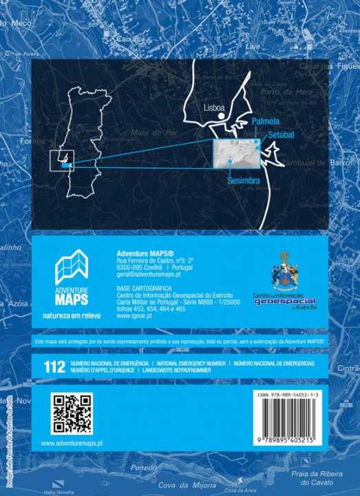
Topographic Map - Parque Natural de Arrabida (Portugal) | Adventure Maps

Price
Regular price 2150 €
Regular price Sale price 2150 €
Save -21,50 €
/
  • Shipping within 24 working hours from our warehouse in France
  • Frais de livraison calculés instantanément dans le panier
  • Retours gratuits (*)
  • Stocks en temps réel
  • In stock, ready to ship
  • Backordered, shipping soon
Tax included.

Souvent achetés ensemble :

Topographic map of the Arrabida Natural Park including the entire network of hiking trails in the area, tourist attractions, river beaches, bathing areas, waterfalls, campsites, picnic areas, tourist offices, climbing and hang gliding spots.
- Equidistance of contour lines: 10 m
- UTM grid with 1 km divisions (GPS compatible)
- WGS84 coordinates (GPS compatible)

Blanket :
Aldeia do Meco | Alfarim | Azeitão | Cotovia | Albufeira Lake | Palmella | Quinta do Anjo | Quinta do Conde | Sesimbra | Setubal

This map is waterproof and tear resistant.


ISBN/EAN : 9789895405213
Publication date: 2023
Scale: 1/25,000 (1cm=250m)
Printed sides: both sides
Folded dimensions: 15x20cm
Language(s): French, English, German, Spanish, Portuguese
Weight: 48 g

Customer Reviews

Be the first to write a review
0%
(0)
0%
(0)
0%
(0)
0%
(0)
0%
(0)