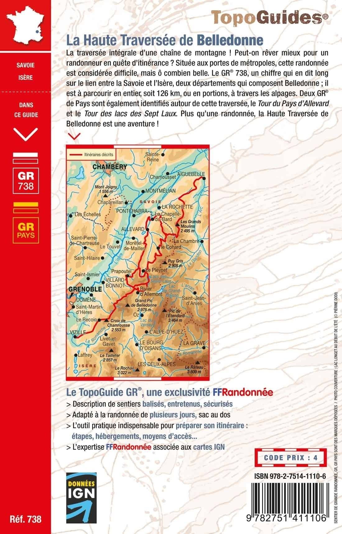
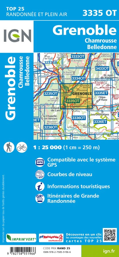
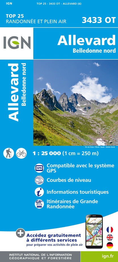
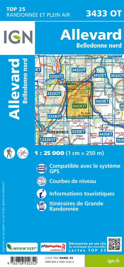
TOP 75 Map No. 2 - Chartreuse and Belledonne Massif | IGN

Price
Regular price 980 €
Regular price Sale price 980 €
Save -9,80 €
/
  • Shipping within 24 working hours from our warehouse in France
  • Frais de livraison calculés instantanément dans le panier
  • Retours gratuits (*)
  • Stocks en temps réel
  • In stock, ready to ship
  • Backordered, shipping soon
Tax included.

Souvent achetés ensemble :

Top 75 Topographic map of the Chartreuse and Belledonne Massif published by IGN. Scale 1/75 000 (1 cm = 750 m). This detailed map covers the region between Chambéry and Grenoble (from north to south) and Moirans and St Jean de Maurienne (from West East) with the Park of Chartreuse. Level curves, detailed legend and indication of hiking trails. Index of cities. This map includes 5 zooms on a scale 1 / 25,000 to discover exceptional hikes (Pointe de la Gorgeat, Lakes of Seven Laux, Grand Peak of Belledonne, Grand Som, Crolle Teeth).


ISBN/EAN : 9782758554721
Publication date: 2023
Scale: 1/75,000 (1cm=750m) & 1/25,000 (1cm=250m)
Printed sides: front
Folded dimensions: 24.6 x 11.2 x 0.7cm
Unfolded dimensions: 110x100cm
Language(s): French, English, German
Weight: 89 g

Customer Reviews

Be the first to write a review
0%
(0)
0%
(0)
0%
(0)
0%
(0)
0%
(0)