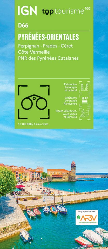
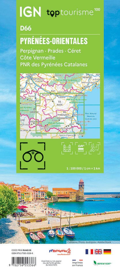
IGN TOP 25 hiking map no. 2548 OT - Perpignan, Beaches of Roussillon

Price
Regular price CHF 1400
Regular price Sale price CHF 1400
/
  • Made to order - Shipping within 5 to 8 working days
  • Cartovia Guarantee – Delivery issue?
    We resend immediately upon receiving a simple photo.
Tax included.

Often purchased together:

TOP 25 topographic map no. 2548OT of Perpignan, and the beaches of Roussillon published by IGN.

This hiking map features contour lines spaced 10 meters apart and a detailed legend (vegetation, rocks, communication routes down to the smallest path, buildings down to the shed, woods, isolated tree, river, spring, etc.).

Marked trails and tourist information are indicated. Scale 1/25,000 (1 cm = 250 m).

Municipalities covered : Perpignan, Roussillon Beaches, La Palme, Port-la-Nouvelle, Feuilla, Villeneuve-les-Corbières, Salses-le-Château, Vingrau, Opoul-Périllos, Fraissé-des-Corbières, Saint-Jean-de-Barrou, Embres-et-Castelmaure, Fitou, Roquefort-des-Corbières, Durban-Corbières, Villesèque

Places to discover : Narbonnaise in the Mediterranean, Leucate or Salses Pond, Estrons de la Vieille, Montoulié de Périllou, Cap Leucate, Prehistory Museum, Lydia, St-Aubin Chapel, Fort de Salses, Caune de l'Arago, Durban Castle, Aqualand Port Leucate, Foncaude Botanical Garden, Leucate Castle


ISBN / EAN : 9782758557395
Date de publication : 2025
Echelle : 1/25,000 (1cm=250m)
Impression: front
Dimensions plié(e) : 24 x 11cm
Dimensions déplié(e) : 96 x 121cm
Langue : French, English, German
Poids : 88 g