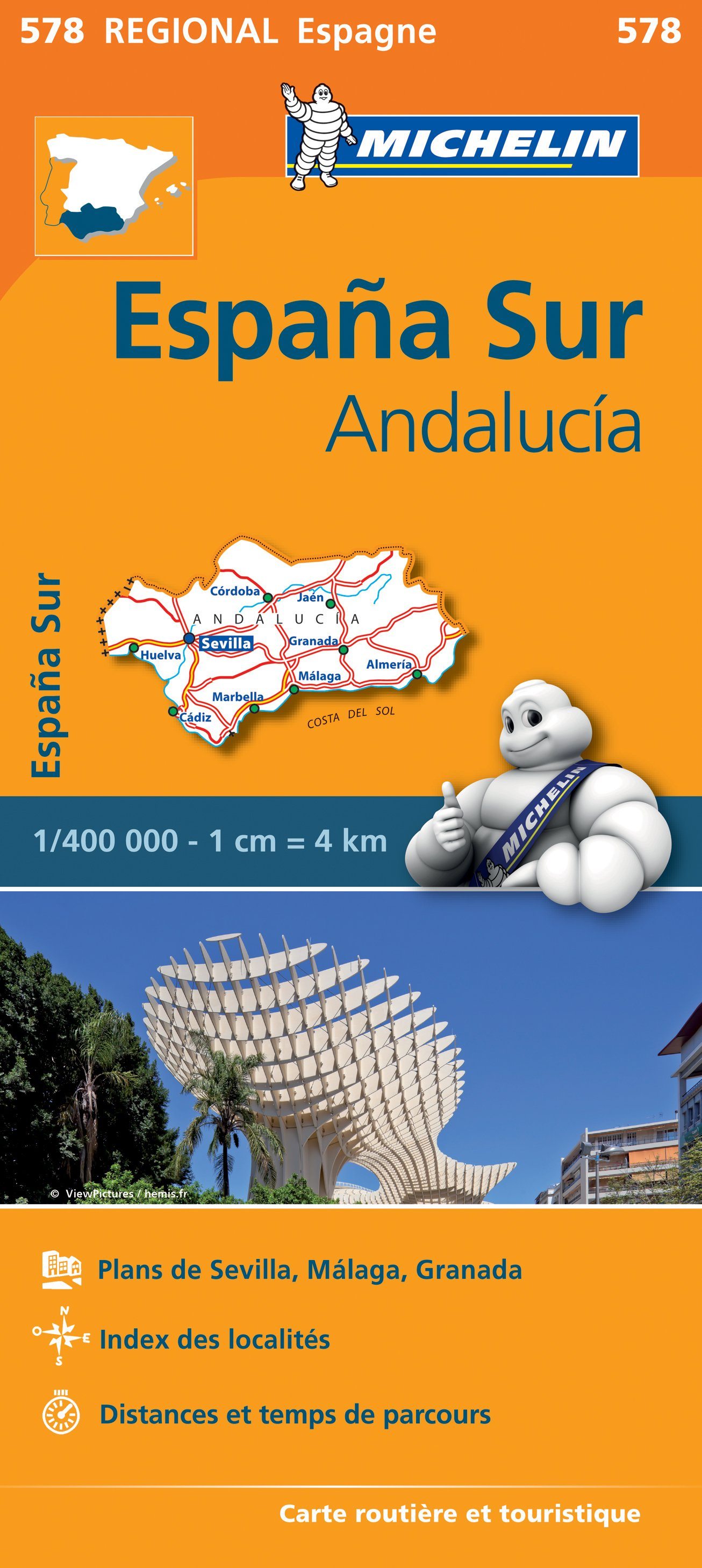
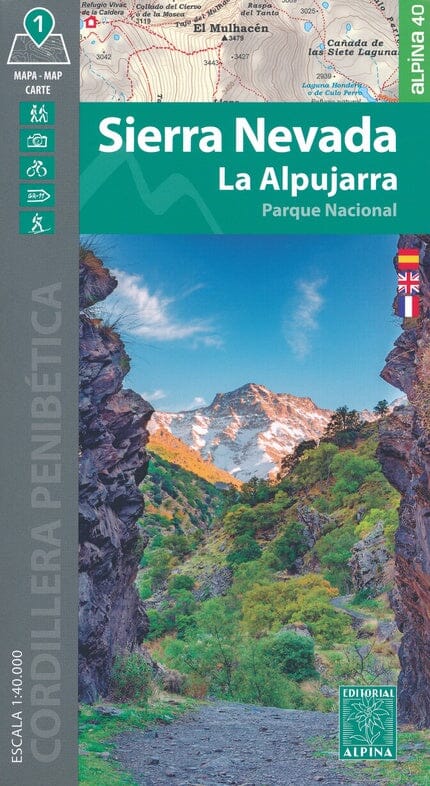
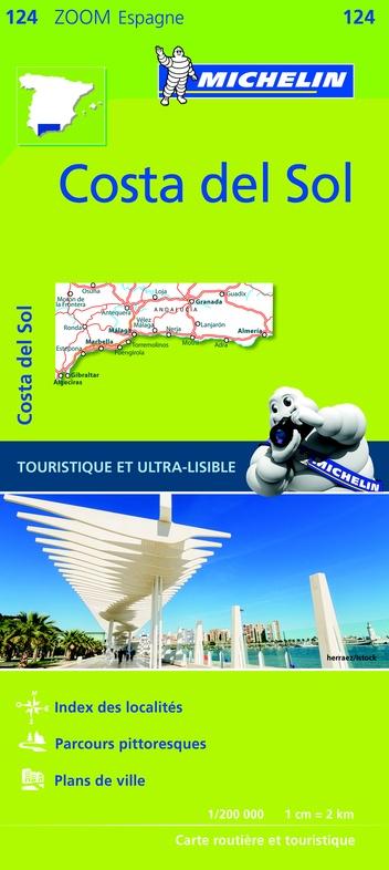
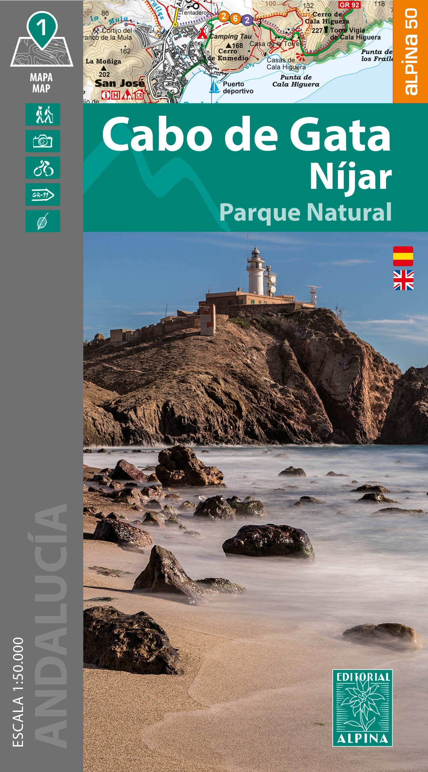
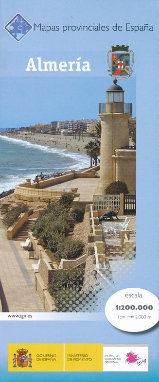
Hiking map - Geoparc de las Sierras Subbéticas (Andalusia) | Ice ax

Price
Regular price CHF 1200
Regular price Sale price CHF 1200
/
  • Shipped within 24 to 48h from our warehouse in France
  • Customs duties may apply on import to your country
  • Free returns (*)
  • Real-time stock levels
  • Cartovia Guarantee – Delivery issue?
    We resend immediately upon receiving a simple photo.
  • Low stock - 2 items left
  • Backordered, shipping soon
Tax included.

Frequently bought together:

Hiking map of the Sierras Subbéticas (Andalusia).

The Spanish publisher Editorial Piolet produces particularly detailed maps of Spain's subregions, suitable for hikers and mountain bikers. Traditionally, they began in the Barcelona region, but are increasingly expanding to other parts of Spain.

The maps have a topographical background with contour lines, peaks, shadows on mountain ridges, roads and villages, hamlets, and even farms. In addition, they have marked some hiking trails, including GR trails and PR trails, the regional long-distance hiking trails. Other hiking trails are marked, but with the normal black lines instead of a striking color. Mountain bike routes are also shown on some maps, but this is the exception rather than the rule. The symbols indicate other useful things such as campsites, attractions, caves, etc.


ISBN/EAN : 9788415075974
Publication date: 2013
Scale: 1/40,000 (1cm=400m)
Folded dimensions: 12x21cm
Language(s): French, English, German, Spanish
Weight: 72 g